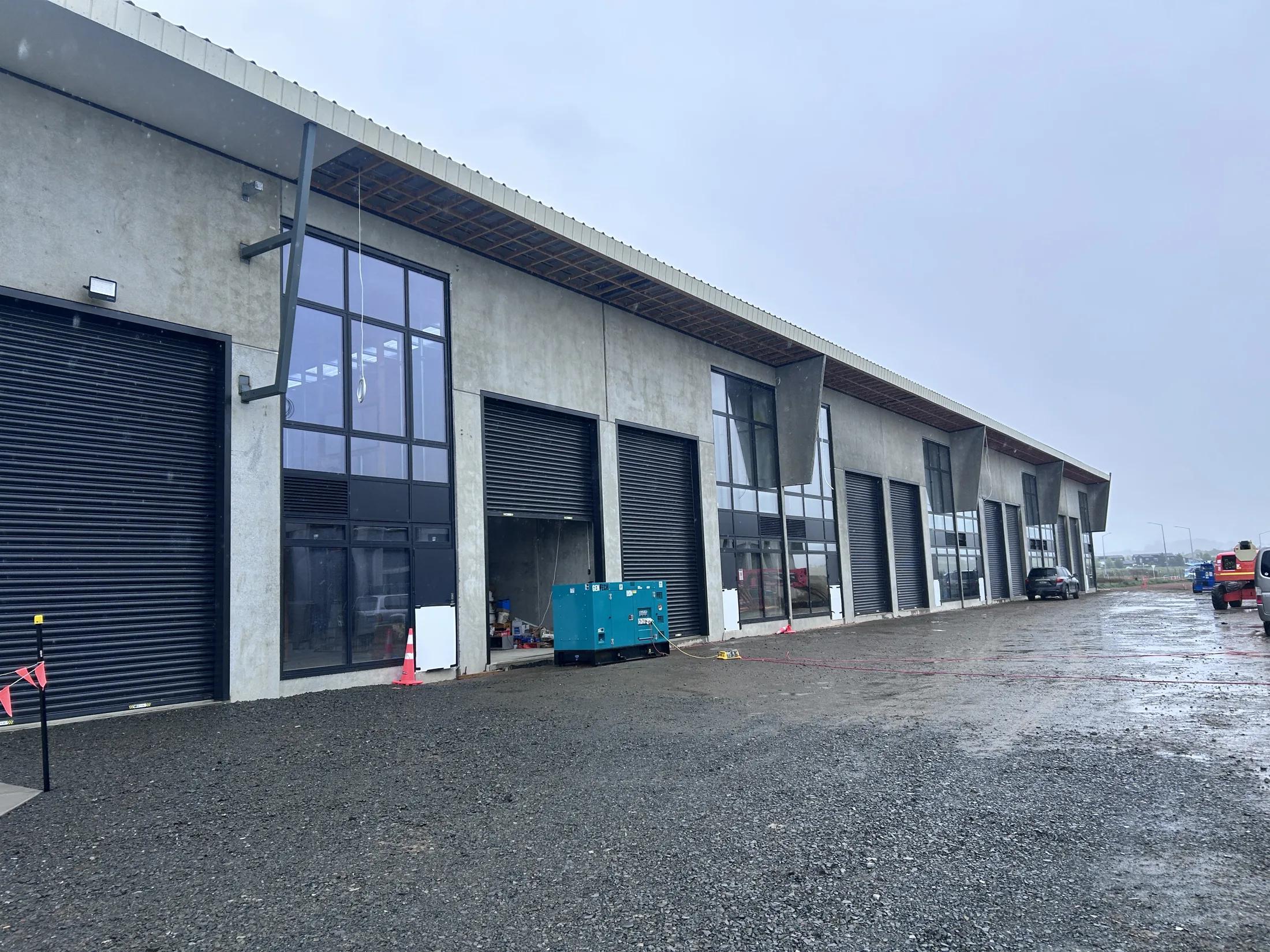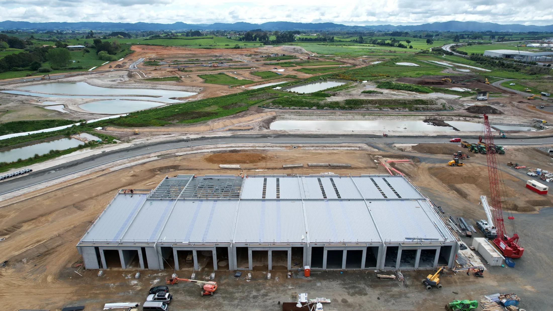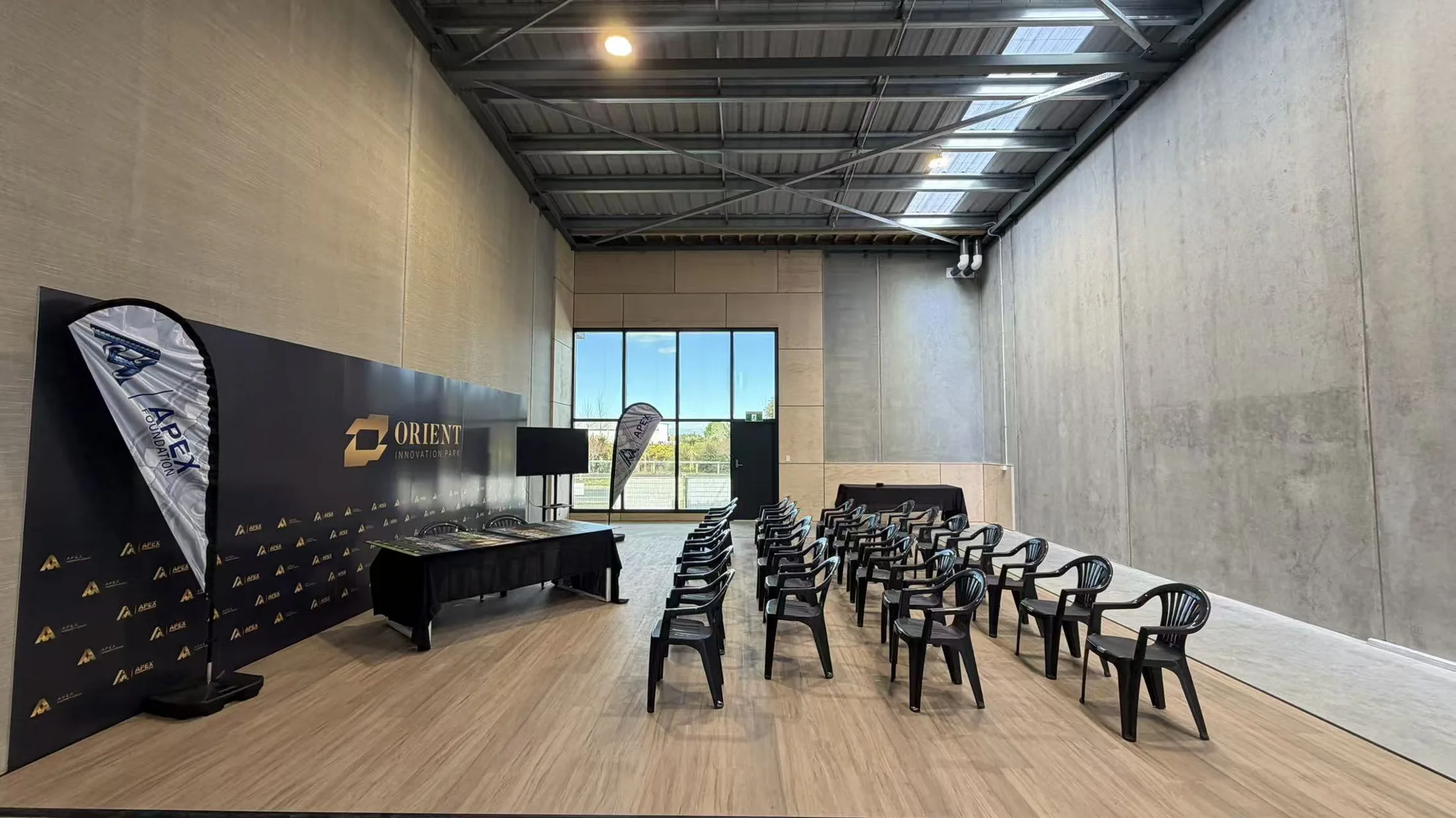
Site Update · 7 July 2026
Aerial Site Photography
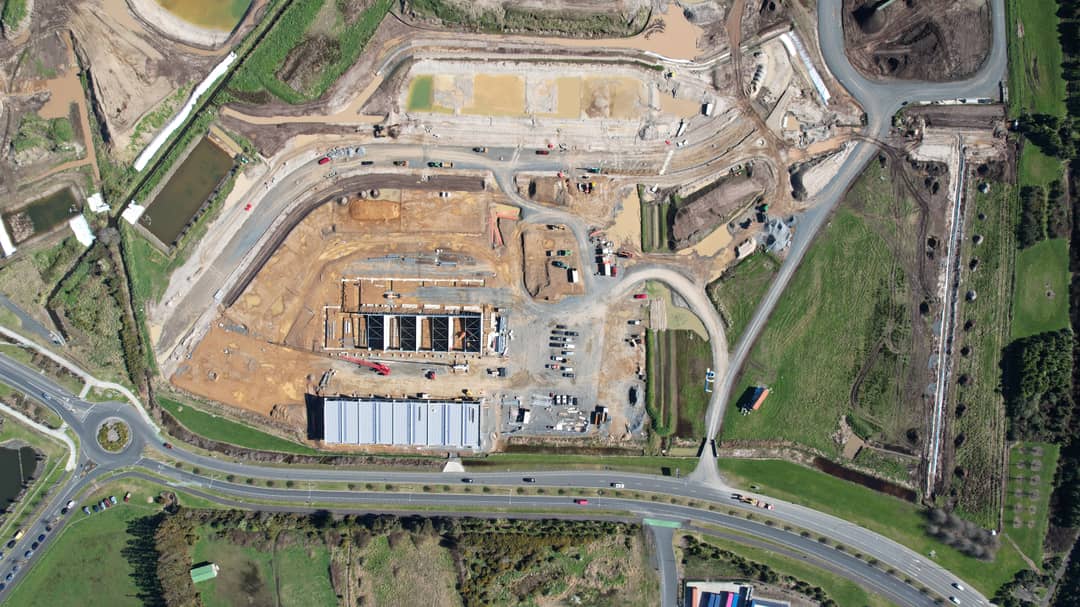
Fresh drone photography of our current sites, giving a clear view of layout, scale and surrounding growth corridor.
We deployed a drone to document the development's current status from an aerial perspective. This documentation approach helps show the project's dimensional scope, property boundaries, and its position within the broader neighbourhood context.
Additional photographic and video documentation will be released as the construction phase advances.